

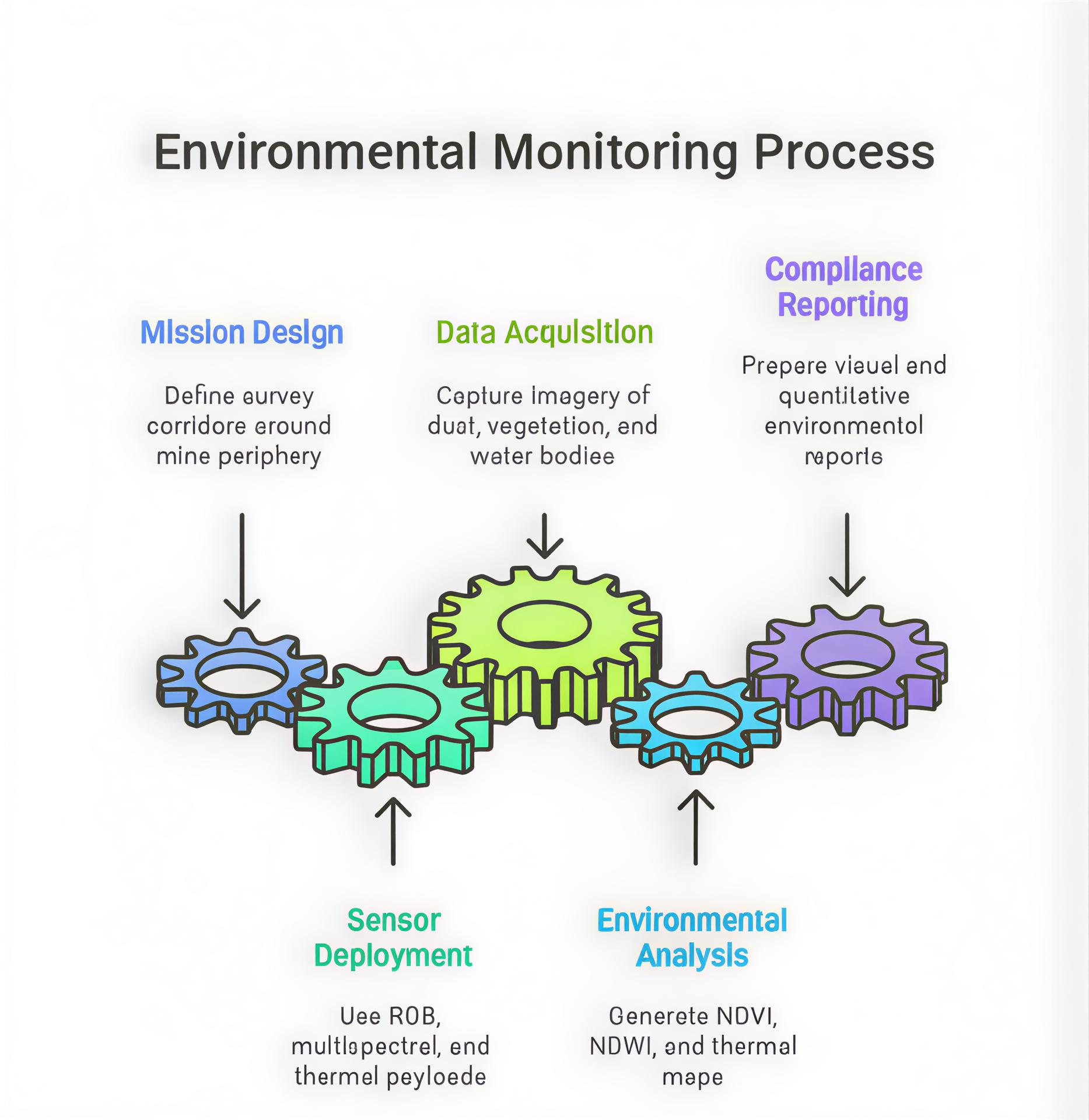
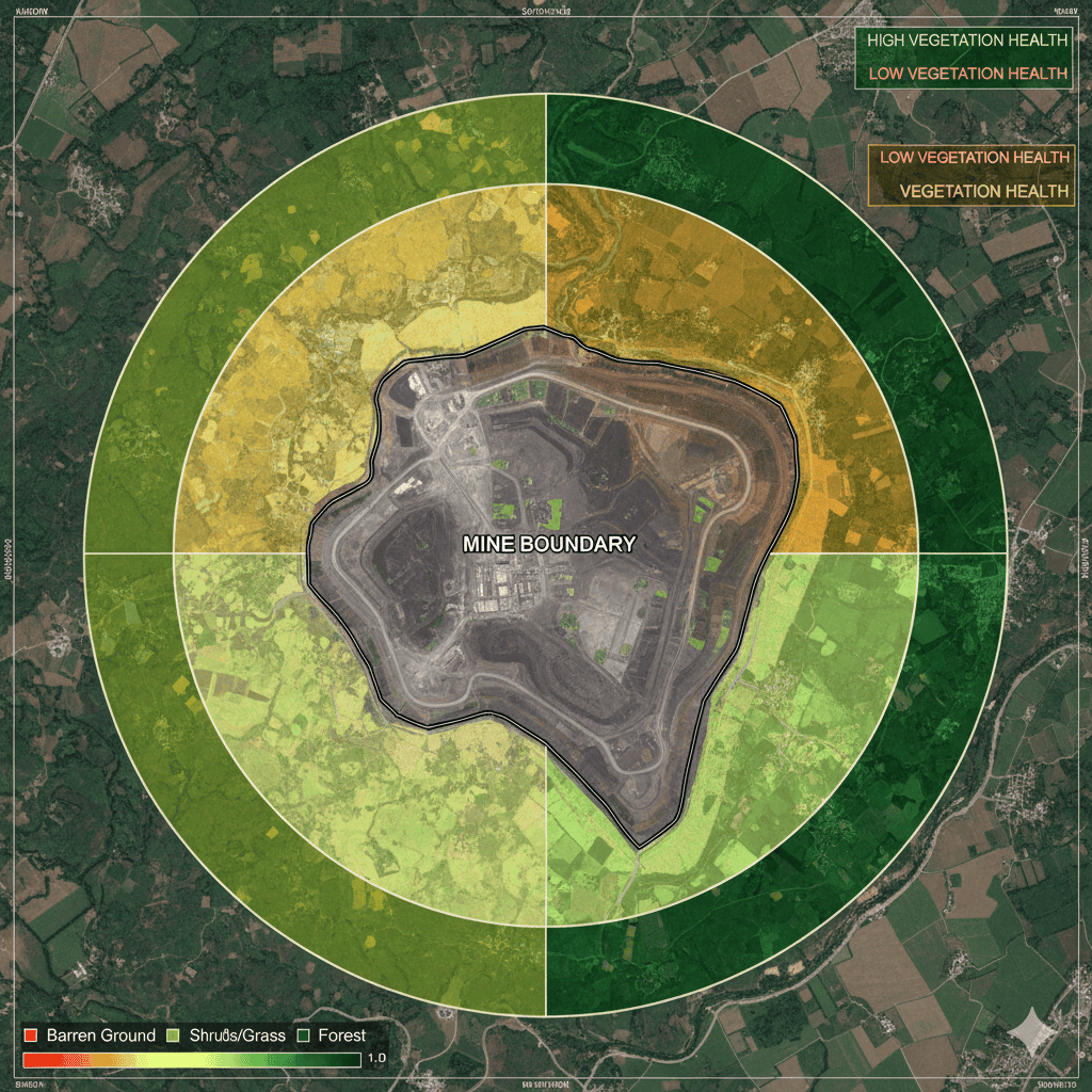
Environmental compliance is a critical aspect of modern mining operations. Drones equipped with multispectral and thermal sensors enable precise monitoring of dust levels, water run-off, and vegetation health around mining sites. These aerial systems help operators identify pollution sources, track reclamation progress, and generate scientific, audit-ready reports aligned with MoEFCC and CPCB regulatory standards.
| Deliverable | Format | Usage |
|---|---|---|
| NDVI / NDWI Maps | GeoTIFF | Vegetation & water health assessment |
| Dust Dispersion Map | GeoTIFF / PDF | Pollution control planning |
| Thermal Imagery | JPG / TIFF | Leakage and temperature analysis |
| Compliance Report | Submission to environmental authorities |
| Parameter | Typical Accuracy | Depends On |
|---|---|---|
| Spectral Resolution | 5 nm bands | Sensor quality |
| Spatial Accuracy | ±5 cm | RTK / GCPs |
An open-cast bauxite mine deployed multispectral drones to assess vegetation health and track dust plumes. NDVI-based analytics supported a successful environmental audit submission to the State Pollution Control Board, improving compliance confidence and reclamation planning.