01
High-Resolution Aerial & Underwater Imaging
Capture detailed surface and subsurface imagery for habitat mapping, coastal studies, and coral reef assessment.

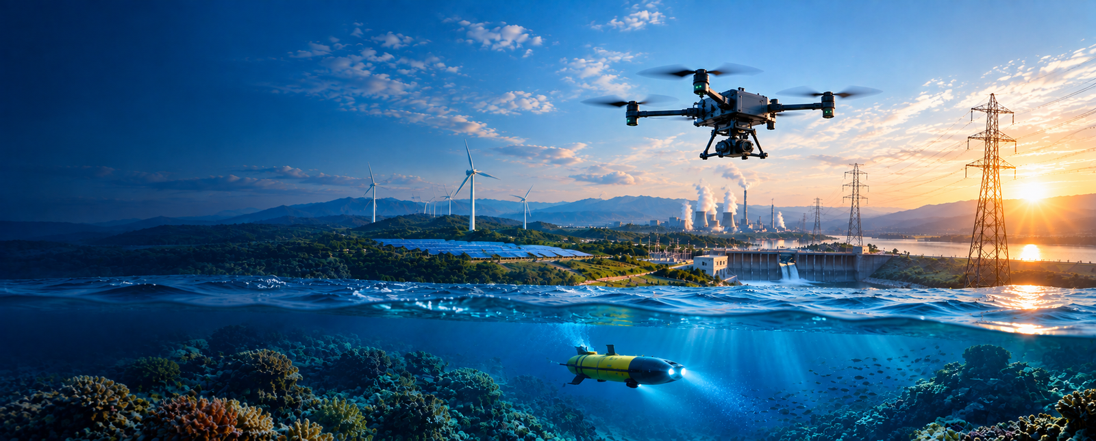
Transform oceanographic and marine research with aerial and submersible drone systems built for high-precision data collection, environmental monitoring, mapping and automated observation.
The world’s oceans remain one of the least explored frontiers, holding vital clues about climate change, biodiversity, and resource sustainability. Traditional marine exploration methods are costly, time-consuming, and often limited by human reach.
Drone-based technologies are transforming oceanographic and marine research by enabling high-precision data collection, environmental monitoring, and mapping in previously inaccessible regions.
At AKSI Group, we develop aerial and submersible drone systems that support marine scientists, researchers, and environmental agencies with real-time data, 3D mapping, and automated observation tools for studying the oceans efficiently and safely.
From high-resolution imaging and water-quality sensing to autonomous missions and 3D mapping, our drone systems support efficient and data-rich oceanographic research.
Capture detailed surface and subsurface imagery for habitat mapping, coastal studies, and coral reef assessment.
Integrated sensors measure temperature, salinity, turbidity, pH, and dissolved oxygen for environmental monitoring.
Drones operate autonomously along pre-defined routes to collect oceanographic data without constant human control.
Advanced LiDAR and sonar technologies create detailed underwater terrain and shoreline maps.
Artificial intelligence identifies and tracks marine species populations, migration patterns, and habitat conditions.
IoT and satellite-based communication systems provide live telemetry and data access from remote locations.
Built for durability and stability, capable of operating under varying sea states and atmospheric conditions.
Battery-powered drones minimize environmental impact, supporting sustainable marine exploration initiatives.
Apply aerial and underwater intelligence where precise observation, environmental monitoring and efficient marine data collection are critical.
Support detailed assessment of marine ecosystems and biodiversity using aerial and subsurface observation.
Collect detailed coastal imagery and mapping data to support shoreline studies.
Capture surface and underwater information for coral reef assessment and habitat monitoring.
Collect oceanographic measurements for research into changing marine conditions.
Support environmental monitoring and pollution tracking across marine environments.
Use LiDAR and sonar-based data to create detailed marine terrain and habitat models.
Provide observation and mapping capabilities for underwater research and exploration.
Support research requiring environmental and oceanographic observations across remote locations.
Aerial drone capabilities for coastal studies, habitat observation, shoreline mapping and environmental monitoring.
Learn More →Submersible drone capabilities for subsurface imaging, underwater observation, habitat assessment and marine research.
Learn More →Integrated LiDAR, sonar, sensor and communication workflows for 3D mapping and real-time marine data access.
Learn More →Plan aerial or submersible missions across coastal, surface and underwater environments.
Capture imagery, environmental measurements, telemetry and oceanographic data through autonomous missions.
Process LiDAR, sonar and imaging data into detailed coastal, bathymetric and habitat models.
Use transmitted data and AI-based observation tools to support marine research and environmental assessment.
Tell us about your oceanographic survey, environmental monitoring, marine mapping or underwater research requirement. Our team can help identify an appropriate drone technology approach for your project.