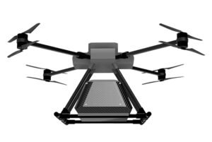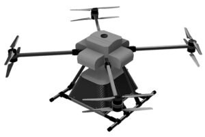

The construction and infrastructure sectors are embracing drone technology to revolutionize project management, safety, and precision. From site surveys and structural inspections to progress tracking and asset management, drones provide unparalleled visibility and efficiency across every stage of development. At AKSI Group, our drone systems empower builders, engineers, and planners with real-time aerial insights that reduce costs, minimize risks, and accelerate project timelines. These intelligent systems integrate seamlessly with BIM (Building Information Modeling), GIS, and other digital platforms to deliver data-driven decision-making in modern construction ecosystems.
Captures detailed aerial imagery for precise site surveys, contour mapping, and 3D modeling.
Provides live visuals and progress reports to track construction milestones and detect deviations.
Seamlessly connects drone data with digital construction models for enhanced planning and coordination.
Conducts aerial inspections of bridges, towers, and high-rise structures without disrupting site operations.
Calculates material volumes, elevation data, and surface irregularities for accurate project estimation.
Detects heat leaks, water infiltration, and material inconsistencies using advanced sensors.
Pre-programmed flight paths ensure consistent data capture and repeatable inspections.
Reduces the need for manual inspections in hazardous areas, minimizing on-site risks.