Applications / Surveying & Mapping

Surveying & Mapping

Advanced drone solutions engineered for mission-critical applications.
Application Overview

Built for real-world missions.

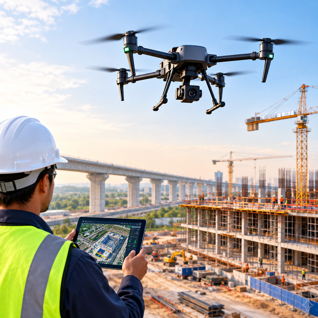
Drone-based topographic surveying and mapping integrate advanced technologies like LiDAR scanning, volumetric analysis, and 3D modeling to deliver precise, actionable insights for construction and infrastructure projects. LiDAR-equipped UAVs capture millions of elevation points even under vegetation, generating dense 3D point clouds and high-fidelity terrain models ideal for corridor mapping and design validation. Volumetric measurements enable accurate calculation of stockpiles, excavations, and earthwork quantities with centimeter-level accuracy, supporting cost control and inventory management. The captured imagery further combines into realistic 3D models or digital twins of project sites, offering powerful visualization for planning, progress monitoring, and simulation. Together, these drone-enabled capabilities transform traditional surveying into a faster, safer, and data-rich process that enhances engineering precision and decision-making from concept to completion

Sub Drone Applications

Explore the specialized applications and mission capabilities available within this category.

3D Modeling
3D Modeling & Digital Twin Creation Overview 3D drone modeling creates realistic digital replicas of construction sites, buildings, or terrain for visualization, design vali... Read More
Volumetric Measurements
Stockpile Volume Measurement & Earthwork Estimation Overview Drone-based volumetric surveys enable precise calculation of stockpile and excavation volumes in construction, ... Read More
LiDAR Scanning
LiDAR-Based Terrain & Infrastructure Mapping Overview LiDAR-equipped drones deliver ultra-precise 3D mapping by emitting laser pulses that penetrate vegetation and capture ... Read More
Topographic Surveys
Topographic Surveys using Drones Overview Topographic drone surveys enable rapid and accurate mapping of terrain elevation, contours, and surface features.By capturing overlappi... Read More

Related Products

Discover drone platforms designed to support demanding operational requirements.

Related Industries

See where this application can deliver real-world value across industries.

Let's Build the Right Solution

Ready to explore the right drone solution?

Talk to our team about your mission, operational requirements and deployment needs.

Talk to Our Team →
Your Privacy, Your Control

We are committed to giving you transparency and control over how cookies are used on our website. Select the categories below based on your preferences. Your choices can be updated at any time.

These cookies are necessary for the website to function correctly. They support critical features such as security, accessibility, session management, and form submissions.

Status: Always Active

These cookies help us evaluate website performance and understand how visitors use our pages.

These cookies remember settings and choices you make.

These cookies help us assess the effectiveness of our communications.

Some website features rely on trusted external providers.